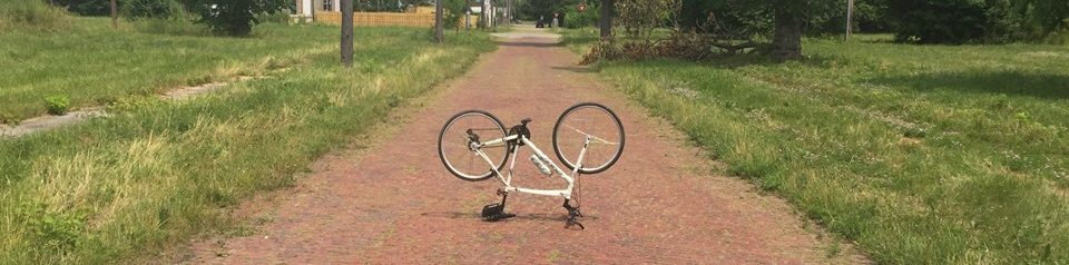
41 outside sun was shining, I knew this was a rare afternoon in early February season. Inspired from the Annual Bike-Detroit meeting from 10 days ago I was set, bound and determined to ride this newly proposed mid range bike route. Basically a 23 mile route that interconnects 20 Parks along the path less traveled. This was our proposed ‘Inner’ loop of our 3 part offering of the ‘Emerald Necklace’ plan we have been working on for the past 3 years.
It was a great first time out, many Parks were open and others were land grabbed shut? I wonder who I can contact at the city about this? Do any of you know where I might send an email to? Okay back to the trail…. I found 4 great pedestrian ways of getting over the expressways and railroads. A few of the areas out near west Chicago and Wyoming did not particularly feel that good. The route was edited earlier this morning! All told 28 miles traveled including turn around. One historic footnote to bring high end camera, shoot and share Cooley High School etching and symbolism left in and over many an outside wall, so that in turn we can share with all of our friends.
I am thinking 1 more edit session and 2 more test runs to make complete. Our hope is to finally have all of our maps published by March 15th, just in time for the 2012 season.
Bike Detroit! J. Meyers, Bike Explorer

Your post is really wonderful..thanks for posting…your post is very informative
Really impressed! Everything is very, very clear, open is a description of the problem. It contains the information.